


ZL190 Handheld GPS for Surveying, High Precision GPS Surveying Equipment for Mountainous Land Slope and Flat Field Outdoor Use
€103.99
30 in stock
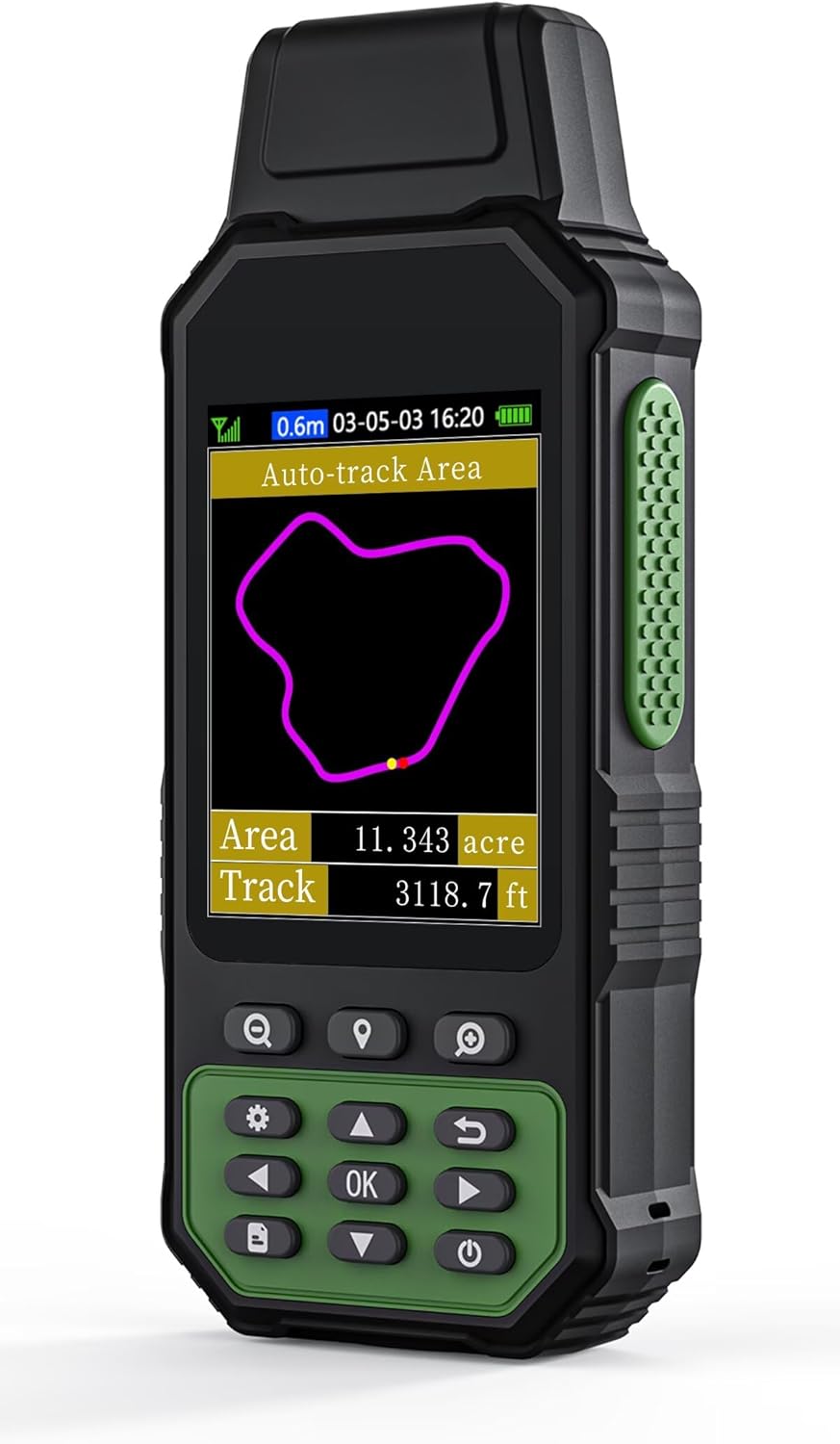
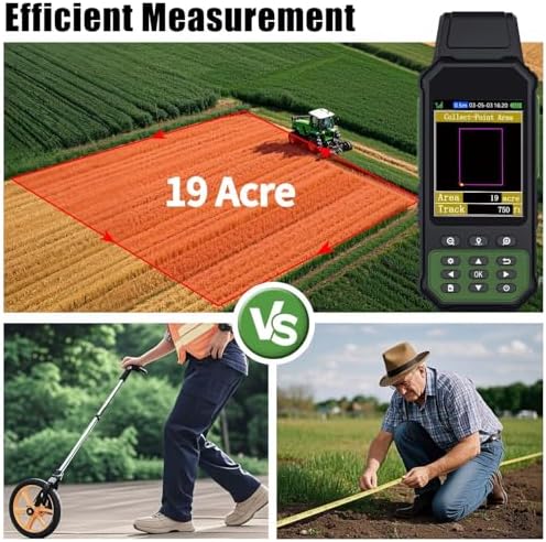
Introducing the ZL190 Handheld GPS for Surveying, your ultimate solution for high precision GPS surveying in both mountainous terrains and flat fields. Designed for outdoor use, this advanced surveying equipment combines cutting-edge technology with user-friendly features, making it an essential tool for professionals in the surveying industry.
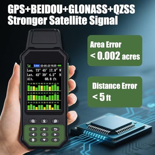
The ZL190 boasts exceptional accuracy, ensuring reliable data collection even in challenging environments. Its robust design is built to withstand the rigors of outdoor conditions, providing durability and longevity for all your surveying needs. With a high-resolution display, you can easily view and analyze your data on the go, making it perfect for fieldwork.
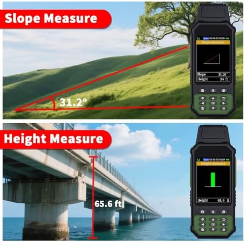
Equipped with advanced positioning capabilities, the ZL190 allows for seamless integration with various surveying software, enhancing your workflow and efficiency. Whether you are working on mountainous land slopes or flat fields, this handheld GPS device delivers consistent performance, ensuring you achieve precise measurements every time.
Lightweight and portable, the ZL190 is easy to carry, making it ideal for long surveying sessions. Its intuitive interface allows for quick navigation and operation, so you can focus on your work without any distractions.
Upgrade your surveying capabilities with the ZL190 Handheld GPS – the perfect companion for professionals seeking accuracy, reliability, and ease of use in their outdoor surveying projects.
Related products
-
Sale!
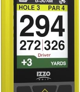

Izzo Swami Golf GPS Rangefinder – Color Display & Scorekeeper
Original price was: €119.99.€105.50Current price is: €105.50. -
Sale!
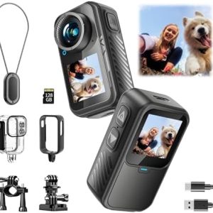

Dual Screen Sports Camera | 128G Thumb Action Camera, Wearable on Chest for POV Shooting: Waterproof Action Camera for Running Cycling Swimming Hiking Adventures etc.
Original price was: €149.99.€69.99Current price is: €69.99.